SUMMARY
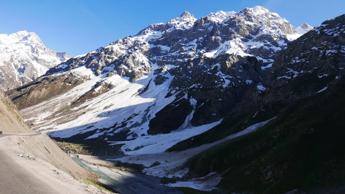
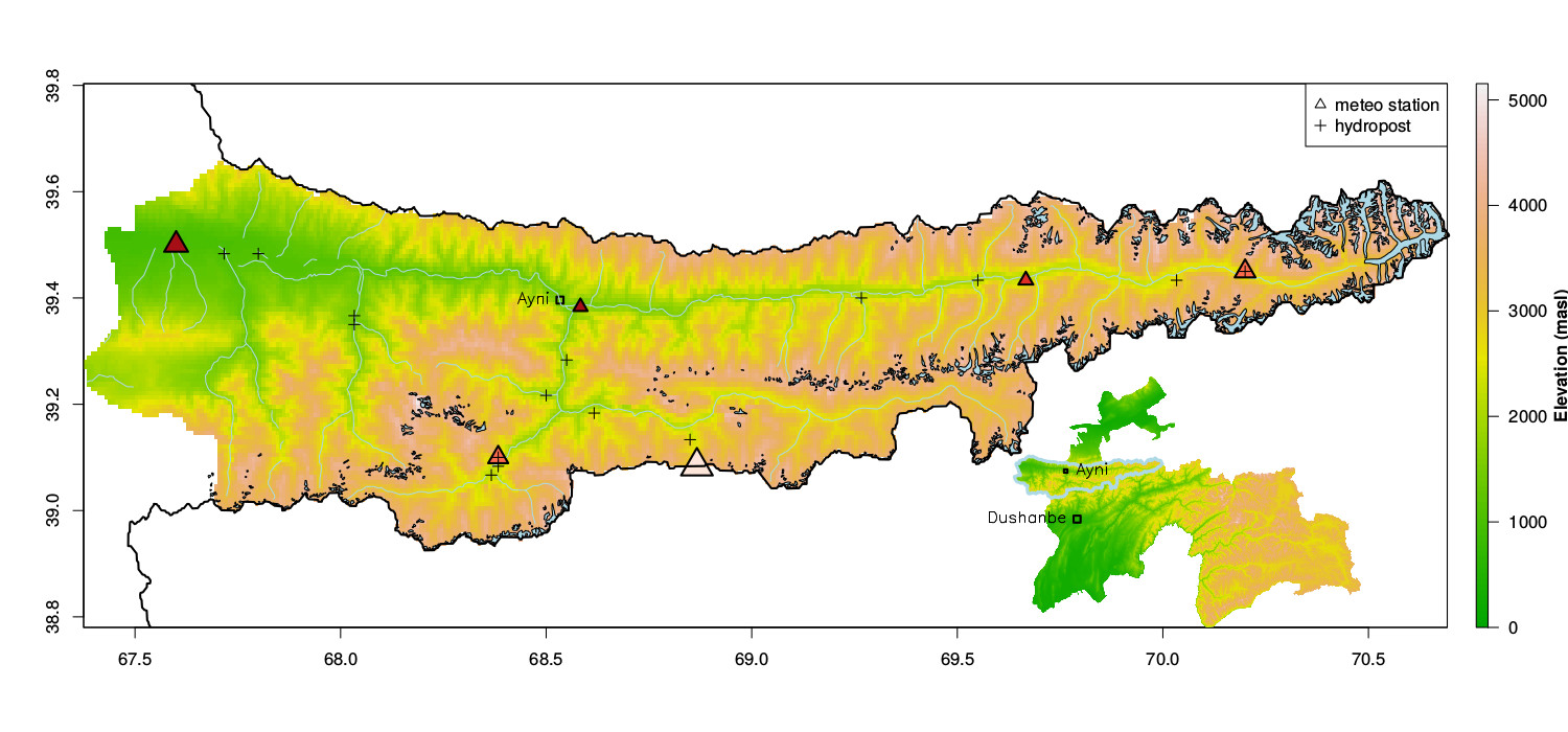
The Zarafshan river basin programme is a technical assistance project designed to build capacity in integrated water resources management in Tajikistan. Landell Mills Ltd. is lead working with Mott MacDonald as partner on the 42-month project, which is funded by the European Union and has a total value of over €4 million. The ZRB is a relatively dry basin (250-400 mm / year measured at stations up to 3000 m). With most precipitation occuring as snowfall during winter/ spring. Large valley glacier systems exist at the headwaters of the Zarafshan river at around 2800 m. Smaller cicrque glaciers occur throughout the basin.
Within this project I am initiating a pilot in monitoring of snow based water resources. Specific objectives of this input are:
- Assess possibilities for field based measurements and develop a monitoring strategy (manual and/or automatic) to be implemented winter season 2018/19.
- Set up model/remote sensing based snow monitoring system.
- Develop a pilot snowmelt runoff forecasting system for 2019.
- Verify the forecasting in 2019 with streamflow data.
- Train the river basin working group with introduction to snow monitoring, and use of simple and process based models and remote sensing for forecasting.