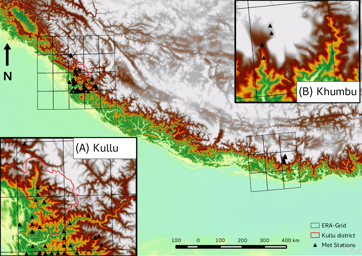
Application of methods for downscaling model inputs from global reanalysis datasets (Fiddes and Gruber 2014) together with efficient methods of applying high resolution numerical models at regional scales (Fiddes and Gruber 2012) to simulate land surface products, in the Indian Himalayas.
Physically based models can be useful for simulation of the energy and water balance in remote mountain regions where observational data is not available for more empirical methods. Such simulations are particularly useful in assessment of a range of crucial land surface processes, related to water supply and natural hazards. Key challenges in using such models are: (1) supplying appropriate scale model drivers, (2) improving efficiency for large area simulation, and (3) model evaluation and possible debiasing in data sparse regions. This study implements new methods which address (1) and (2) in a data sparse region of the Himalaya. Specific focus is placed on (3), development of methods with which to evaluate (and simple debiasing) of model simulations when conventional data is sparse.
METHODS
- Downscale atmospheric reanalysis data (ERA-Interim) to high resolution DEM scale (ASTER 30~m) according to Fiddes and Gruber 2014.
- Subgrid method which samples topographic heterogeneity to make a lumped model for highly efficient large area simulation Fiddes and Gruber 2012.
- Numerical modelling of surface parameters (2002-2012) using GeoTOP, a distributed hydrological model with coupled water and energy balance (Endrizzi et al 2013). -Evaluate and debias results in data poor areas.


WORKING WITH
University of Zurich/Fribourg Research Group on Environment and Climate: Impacts, Risks and Adaptation
REFERENCES
A poster presented at the IGS conference in Kathmandu March 2015
Media: Times of India Sunday Special
